Agriculture covers nearly 180 million hectares in India. PInCER is, at its heart, a live crop map presenting the geo-location of standing crops across the country. Using satellite imagery to classify crops, PInCER makes the crop map actionable by overlaying useful data on it, including village boundaries, farm sizes, crop health, weather forecasts, yield estimates, and land ownership. This allows for data-based decision-making in procurement strategy, stock holding, commodity pricing, and crop risk.
COMMODITY BUYING
How does PInCER help?
Our village prioritization product helps commodity buyers prioritize villages based on their procurement needs, optimizing manpower and resource allocation. As the season progresses, in-season tracking product, with live crop map analytics, allows buyers to adapt their strategies mid-season. The mobile app provides real-time tracking of extension teams, simplifying field management and providing actual ground truthing data.
With PInCER, commodity buyers can make informed decisions and navigate changing market conditions effortlessly.

PInCER Modules Enable the Commodity Buyers
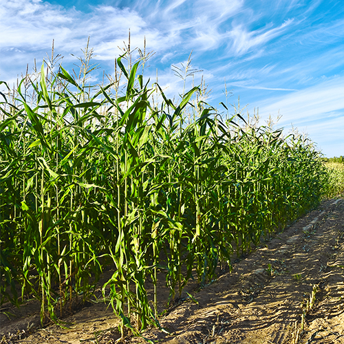
Live Crop Map
Updated every crop season, acreages of major crops, plotted on the map at pan-India
Village Prioritization
Helps commodity buyers focus on villages based on crop acreage, health, and scores of other parameters
Mobile app-based Field Management System
A mobile app and portal for allocation of territories and farms to extension teams, tracking actual visits, data collection, and supporting navigation to enrolled farms
In Season Tracking
Using satellite imagery to track farms and crops of interest, estimate production and harvest progression, and predict mandi arrivals
Key benefits of using PINCER
Satellite and weather-based advisory
Prioritize your target area
Demand forecasting & effective go-to-market strategies
Better manpower and resource allocation
Track crop-specific acreage and yield estimation
Target field visits for your last-mile delivery
Success Stories
Mapping maize crop acreage for an agrochemical and agricultural biotechnology corporation
The client wanted to conduct a study to estimate and map the crop acreage of Maize across 5 countries in Asia (China, India, Pakistan, Philippines, Thailand & Vietnam). The aim was to have a scalable approach to identify Maize-growing regions in these countries and estimate crop acreage, which will eventually help the company plan for its maize-oriented products.
We adopted an integrated approach to use satellite imagery, ground survey, and secondary information to develop an understanding of Maize crop acreage. We conducted a detailed analysis to understand the Maize crop’s sowing window, crop duration, and spatial distribution/spread across the five Asian countries during 2018-19’s multiple cropping seasons.
IDENTIFYING AREAS OF CROP-GROWN: REAL-TIME TRACKING AND MAPPING OF MUSTARD PRODUCTION
The client is a leading commodity board that sought an innovative approach to monitoring crop production nationwide. The aim was to know the likely production of the mustard crop in the country. In the past, they relied on limited survey-based estimations and publicly available data, resulting in a less reliable strategy by associated members of the board.
We adopted a solution that involved creating a comprehensive crop map of mustard across the country, allowing them to track the progress of the crop throughout the season. We also factored in the impact of untimely rains and other weather parameters, ensuring our estimates were as accurate as possible.
TRANSFORMING CROP TRACKING: A CASE STUDY ON CROP MAP FOR PLANNING PRICE FLUCTUATION
A leading commodity board sought an approach to monitor crop production nationwide and branch out into new districts. They required insights on which villages to prioritize for their operations as they were relying on survey-based estimations and publicly available data, which was dated and resulted in significant losses due to unpredictable price fluctuations.
We adopted a cutting-edge solution, providing a Pan-India soybean crop map that delivers precise acreage estimations and tracks the crop throughout the season. By mapping the crop, we could identify and illustrate the impact of unseasonal rainfall on likely production and supported the client in planning their procurement strategy.
IDENTIFYING NEW AREAS FOR LOAN ORIGINATION: EXPANDING FOOTPRINTS WITH VILLAGE PRIORITIZATION
One of the fastest-growing NBFCs wanted to expand its footprint in the agri-lending sector with limited access to insights. The aim was to focus on villages where they could start business operations.
With the village prioritization tool that uses historical agricultural and socio-economic parameters, we could provide a list of regions they could focus on. Our solution allows them to allocate their resources to focused areas without spending high marketing budgets.
CROP YIELD ESTIMATION USING TECHNOLOGY AT THE GRAM PANCHAYAT LEVEL FOR A GOVERNMENT ENTITY
The client wanted to conduct a pilot project to compare the potential scope, applicability, and viability of various advanced technology-based yield estimations for three crops – Paddy, Cotton, and Red Gram – grown in different agro-climatological zones of India.
We proposed an approach where robust machine algorithms were clubbed with efficient remote sensing technologies and physical surveys. It captured ground control points (GCPs) critical for capturing location, crop signature, and CCE data. We generated crop spread maps for specific crops using high spatial resolution satellite imageries.
Assessing crop growth using remote-sensing techniques for a non-profit international research institute
The client wanted to conduct a study for crop health monitoring, pre-harvest crop acreage, and yield estimation to find out the potential scope, applicability, and viability of scientific and modern techniques in agricultural assessments. The areas of study were four soybean-growing districts of Maharashtra (i.e., Kolhapur, Latur, Osmanabad, and Washim).
We conducted an experimental study to compare the potential scope, applicability, and viability of four advanced technology-based agricultural assessment techniques for soybean as a test crop with different Agro-climatological set-ups in Kharif 2016.
Crop yield estimation & supply chain management for an Apex-Export Trade Promotion Active government entity
The client wanted to assess the Basmati crop acreage in northern India to estimate yield, thereby assisting in effectively managing the Basmati supply chain in India, mainly for exports.
We adopted an integrated approach to use satellite remote sensing, ground survey, and secondary information to develop an understanding of Basmati acreage. It was followed by satellite image processing to estimate the spatial distribution and distinction of different rice varieties from Basmati, depending on the various crop growth stages at the time of imagery acquisition.
Let us Talk!
© 2021 RMSI Cropalytics. All Rights Reserved.